

A map depicting wildfire risk areas in the UK has been revealed as efforts persist to contain a fire near the largest nuclear power station in Britain.
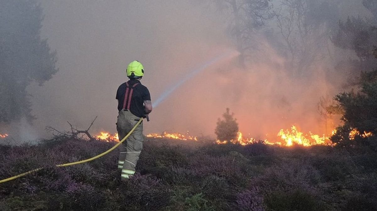
Suffolk Fire and Rescue Service indicated progress in managing the situation, although they cautioned that the fire near Sizewell B, at Dunwich Heath near Leiston, remained a dynamic incident.
Recent updates from the service confirmed that emergency crews and officials stayed on-site overnight, maintaining vigilance during the darkness.
With devastating wildfires on the rise due to the climate crisis, this year has been notably dry with a series of heatwaves.
Utilizing data from the Moorland Association, a map has been created to showcase the wildfire threat nationwide, pinpointing the most vulnerable regions.
The map reveals that the High Peak constituency in Derbyshire, home to the major moorland fire at Tintwistle Moor, faces the highest risk. Firefighters initially responded to Tintwistle Moor near Glossop on June 24, with a major incident status declared on July 13.
Calder Valley in West Yorkshire, encompassing Hebden Bridge where the renowned drama “Happy Valley” was filmed, ranks as the second most at-risk area. Tiverton and Minehead along the Devon-Somerset border follow as the third most at-risk zone.
Generally, the western regions of England and Wales, along with extensive parts of Scotland, are prone to higher wildfire risks.
The Environment Agency declared that half of England is experiencing drought due to soaring temperatures and minimal rainfall this week. Water Minister Emma Hardy has urged readiness for this “new normal” influenced by climate change, as river levels drop, hosepipe bans are imposed, and the wildfire threat escalates.
Across the UK, firefighters have been combatting intense blazes this summer, including incidents at Dovestone in Greater Manchester, Tintwistle Moor in Derbyshire, and Cairngorms National Park in Scotland.
Simultaneously, a national emergency was declared in Spain as multiple wildfires merged into an uncontrollable front, leading to evacuations in France.
Andrew Gilruth, CEO of the Moorland Association, attributed the wildfire risk to rewilding campaigns, filling the uplands with highly flammable vegetation that is quickly burning.
Calling for immediate action, Gilruth urged Prime Minister Andy Burnham to allow farmers and gamekeepers to reduce the hazardous vegetation overload.
On the other hand, Rebecca Wrigley, chief executive of Rewilding Britain, contested the blame on rewilding, emphasizing that the wildfire risk results from climate change and ecosystem degradation, not conservation efforts.
Wrigley proposed a focus on prevention, public awareness, well-equipped fire services, and resilient landscapes to mitigate the wildfire threat.
The Moorland Association evaluated the hazard in each area by considering factors like vegetation fuel levels, climate conditions, and terrain features that could exacerbate the risk.
Factors such as exposure to harm, property and habitat vulnerability, and evacuation complexity were also taken into account.
Stay informed with Daily Mirror as your ‘Preferred Source’ on Google News for quick access to the news you value.