

The upcoming week in the UK could witness the onset of the fourth heatwave, as per the latest forecast from the Met Office. Weather models now indicate a possibility of temperatures soaring to a remarkable 40C.
According to the GFS weather model, temperatures are expected to climb starting Tuesday, with highs reaching 33C in eastern and southern parts of England, and possibly hitting 31C as far north as Yorkshire.
The forecast suggests even warmer conditions on Wednesday, with potential highs of 35C in the south-east, 33C in the Midlands, and 32C along the England-Wales border. In contrast, temperatures in Scotland and Northern Ireland are anticipated to remain cooler, struggling to reach beyond the low-20s.
Thursday may bring extremely hot weather, with the GFS model indicating highs of 39C in central, southern, and south-eastern England, surpassing the current 2026 temperature record of 37.7C.
By Friday, temperatures could rise to 37C in eastern regions, with central and southern England expecting 35-36C. The weekend might see a resurgence of 38C-39C temperatures, with eastern England predicted to be the warmest region.
The heatwave is anticipated to peak on Sunday, potentially reaching highs of 40C, once again in eastern England. If this occurs, it could set a new all-time temperature record for the UK, surpassing the current record of 40.3C from July 2022.
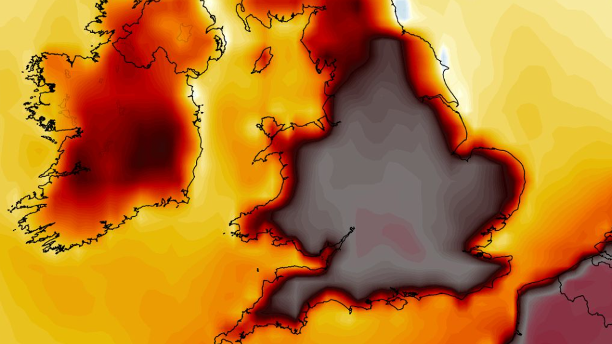
Maps showing temperature anomalies for the upcoming week highlight England and Wales in dark red and black, indicating temperatures well above the seasonal average. According to GFS model data, up to 18 counties in England may experience temperatures exceeding 39C.
The Met Office projects a gradual temperature rise next week, with the potential for 30C in southern and eastern regions by Tuesday. The south-east could experience “very warm” to “hot” conditions throughout the week.
The Met Office acknowledges the likelihood of some areas meeting heatwave criteria, potentially marking the fourth heatwave episode of the year for parts of the UK.