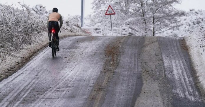
A rare weather phenomenon is expected to impact the United Kingdom in the upcoming days, as weather maps display vibrant orange colors. According to WXCharts, utilizing data from MetDesk, various regions across the country may experience freezing rain on the morning of December 30. This occurrence is projected to occur along the border of England and Wales in Herefordshire and Shropshire.
Freezing rain is characterized by liquid precipitation that swiftly freezes upon contact with cold surfaces. It poses potential dangers such as toppling trees, bringing down power lines, and creating hazardous icy conditions on roads and runways.
The Met Office highlighted that freezing rain is more prevalent in other parts of the world, notably in the USA where weather systems frequently generate significant freezing rain events known as ice storms. These icy conditions can lead to widespread disruptions if enough ice accumulates on trees and power lines, causing them to break.
In the atmosphere, precipitation typically begins as snow, ice, sleet, or hail before transitioning into liquid droplets as it passes through a warmer air layer. These droplets then supercool as they encounter a sub-zero air layer just before reaching the ground, rapidly solidifying upon contact with freezing surfaces, forming a layer of clear ice.
The Met Office emphasized the specificity of conditions required for freezing rain and its infrequency in the UK. The phenomenon results in a visually striking effect as raindrops momentarily spread across surfaces before freezing, enveloping them in a sheet of transparent ice.
Looking ahead in the long-range forecast spanning from December 23 to January 1, the national weather service anticipates a gradual shift towards more settled weather conditions. High pressure building to the north of the UK and easing low pressure to the south will bring in a strengthening easterly wind during the Christmas period, leading to colder temperatures compared to recent days.
While predominantly dry weather is expected, occasional showers, possibly wintry in eastern and southern regions, especially over elevated areas, may occur. Temperatures are likely to dip below average with a likelihood of frost, particularly in the north where winds are calmer. By New Year, high pressure may shift towards the west of the UK, increasing the chances of wet weather spreading across parts of the country.
